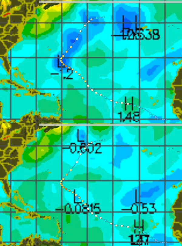
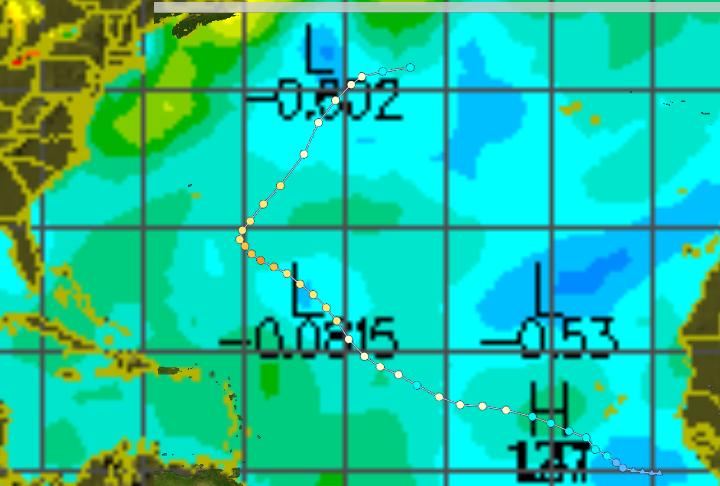
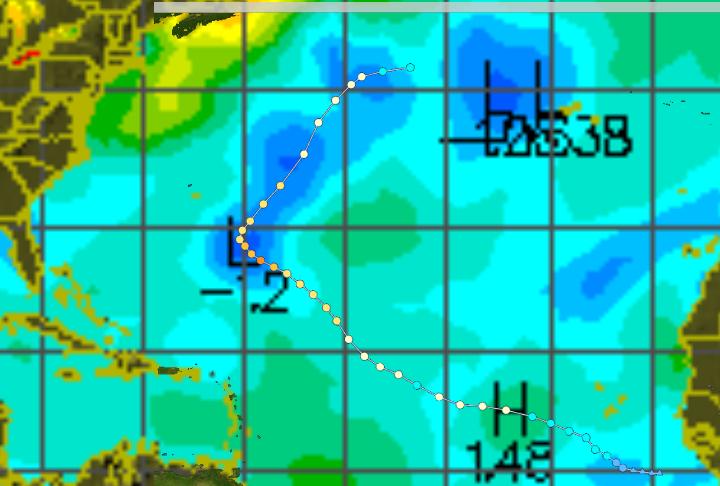
Hurricanes cool the ocean by moving heat into the upper atmosphere, blocking sunlight, and by mixing up the warm surface layer with colder water underneath. The image below shows the path of Hurricane Danielle superimposed on the UNISYS SST anomaly map for September 1.
The next image shows the same thing with today’s SST anomaly map. Note how she cooled things down by several degrees.
[youtube=http://www.youtube.com/watch?v=s6kJDekwIc4]
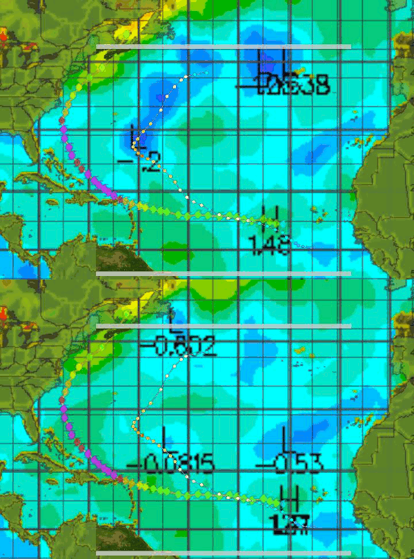
The next image is the same, plus Earl.


Would you mind making predictions for the coming hurricanes? Are their paths equally on cool(ed) waters?
Regards
It doesn’t look to me like there are any hurricanes currently in the pipeline, and SST anomalies are continuing to drop rapidly.
Every time a hurricane moves through, it reduces the potential for future storms – by cooling the water.
So we have another question – how much time does it take the ocean waters to warm up for the next hurricanes to happen?
Regards
Good question. I think it depends mainly on the amount of sunshine being received.
Can also see the impact of Earl’s track, at least up through N.Carolina. I imagine that over the next few days we’ll also see changes around New England and Canada.
Leon,
I added a blink map with Earl at the bottom of the article.
Pingback: Thanks Danielle! | Real Science