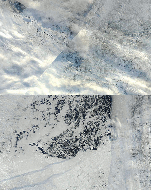
The freeze line is moving quickly south. You can see new ice starting to form at 81N 157E. The blink comparator shows changes over the last week.
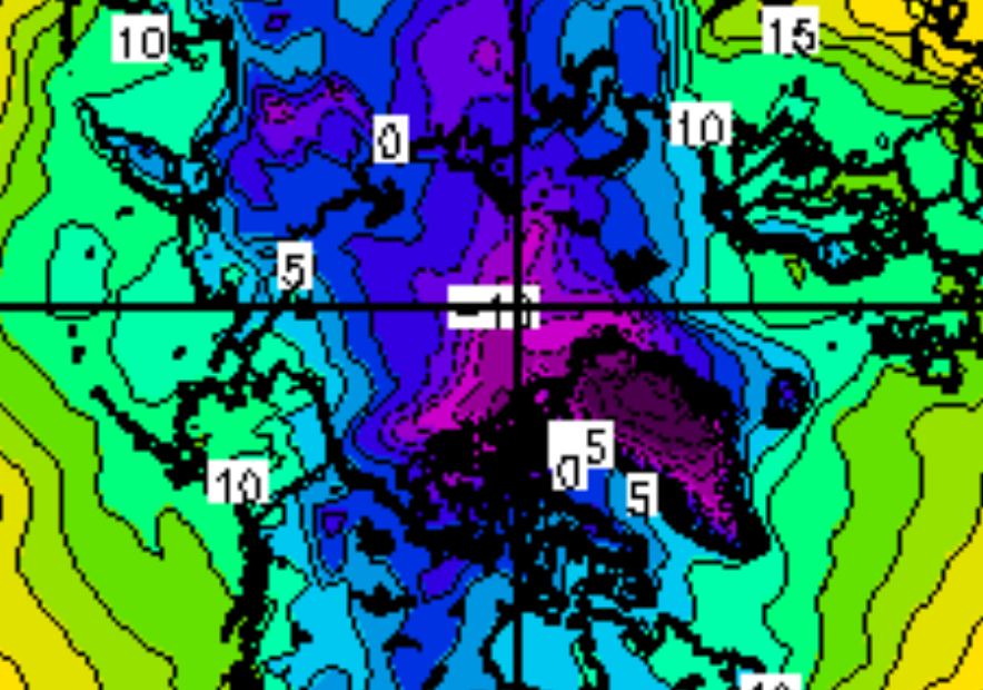
Very cold air is spreading across the Arctic Basin.
http://www.esrl.noaa.gov/psd/map/images/fnl/sfctmp_01.fnl.gif


Extent loss from wind still happening
http://www.ijis.iarc.uaf.edu/en/home/seaice_extent.htm
Looks like NSIDC extent low is now past their original value so they will have to adjust the low date, no big shakes but as there is no “race” to declare first they can give it more time to be certain next year if that is the case.
Andy
I think you’re over-interpreting those pictures. In the second, there’s just way too much cloud around to see whether there’s any new grease/frazil ice forming. New ice is hard to distinguish from open water unless the sky is very clear, see the NSIDC example picture here.
http://nsidc.org/images/arcticseaicenews/20100915_Figure4.png
Yes, in the pictures you link, there appears to be more bright white ice in the second picture than the first (although the clouds mean it’s not very clear – if you zoom in further using the MODIS site you can see the open water under the clouds). This is not relevant since it’s not new ice – new ice is just not that colour.