Disrupting the Borg is expensive and time consuming!
Google Search
-
Recent Posts
- Gaslighting 1924
- “Why Do You Resist?”
- Climate Attribution Model
- Fact Checking NASA
- Fact Checking Grok
- Fact Checking The New York Times
- New Visitech Features
- Ice-Free Arctic By 2014
- Debt-Free US Treasury Forecast
- Analyzing Big City Crime (Part 2)
- Analyzing Big City Crime
- UK Migration Caused By Global Warming
- Climate Attribution In Greece
- “Brown: ’50 days to save world'”
- The Catastrophic Influence of Bovine Methane Emissions on Extraterrestrial Climate Patterns
- Posting On X
- Seventeen Years Of Fun
- The Importance Of Good Tools
- Temperature Shifts At Blue Hill, MA
- CO2²
- Time Of Observation Bias
- Climate Scamming For Profit
- Climate Scamming For Profit
- Back To The Future
- “records going back to 1961”
Recent Comments
- conrad ziefle on Gaslighting 1924
- Bob G on Gaslighting 1924
- Bob G on Gaslighting 1924
- arn on Gaslighting 1924
- conrad ziefle on Gaslighting 1924
- Gordon Vigurs on Gaslighting 1924
- conrad ziefle on Gaslighting 1924
- Robertvd on Gaslighting 1924
- conrad ziefle on Gaslighting 1924
- arn on Gaslighting 1924


Melt ponds have appeared at the North Pole web cams very early this year. Also, I thought the two cams were quite close to one another, but it seems they are not.
please spare us
I know where that ice went.
————-
30 June, 2011
“Artist Point still buried under snow as deep as 55 feet”
“Artist Point usually is open from July to the first substantial snowfall of the year in late September or early October.
It has been closed since Oct. 25.”
http://www.bellinghamherald.com/2011/06/30/2082080/artist-point-still-buried-under.html
They must be very expensive web cams since it would have to be relayed via satellite, and even then it would be intermittent, as the signal would have to be relayed via geosynchronous orbiting satellite and not geostationary satellite. Because at the North Pole you can not sent or receive that kind of satellite feed continuously through geostationary satellites because of the curvature of the earth and a direct link to geostationary satellites is pretty much impossible.
They ran a fiber out to each of the cameras and have a server providing everyone access to the information! 8) (Virtual of course)
They launched satellites just for this and they sit directly over each pole!!!!!!
If a rule of the Climatology game is Make Stuff Up, We need to Make Stuff to play their Game!
You wonder about some who claim to know so much about the dangers we face due to warming in a remote region when they admit lack of knowledge that the Buoys that are
equipt with cameras are generally floating with the current in the “Region of the pole”. The “Live” web cam effect is the same as the “Live” feed from the Martian rover!
Steven:
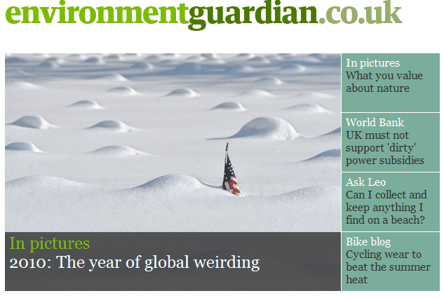
They even discuss a subject close to your heart: What to wear on a bicycle to beat the summer heat. In the UK I would suggest to wrap warmly. But then my experience was riding in the Desert!
I believe the webcams mentioned above can be found here…
http://psc.apl.washington.edu/northpole/index.html
It appears they have observations going back about ten years. Nothing to see really. Ice and snow in winter and minor thaw in the middle of summer.
I doubt that’s a thaw, more likely the ice opening up with the changing current of the Arctic ocean, I seen that all the time when I was in CFS Alert. They must be using relay stations like the ones used for CFS Alert, and that is very expensive. As I said, I’ve been there and to Eureka as well. Eureka is the most southernly spot in the north to my knowledge that they can send and receive signals via satellite and everything is relayed north to and from CFS Alert from there. Even then the signal is crap in Eureka.