This particular fraud (the Muir Glacier) is business as usual in climate science.
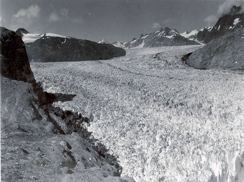
Start with a 1940 photo
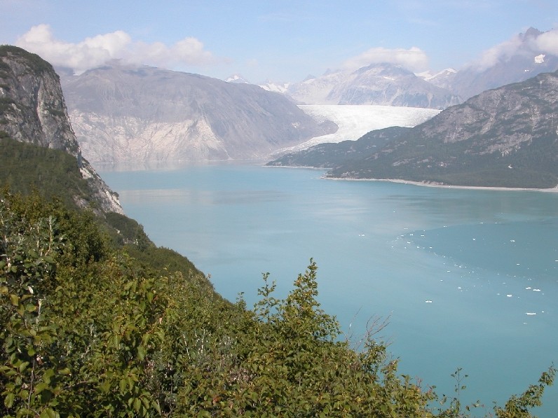
Jump to a 2004 photo
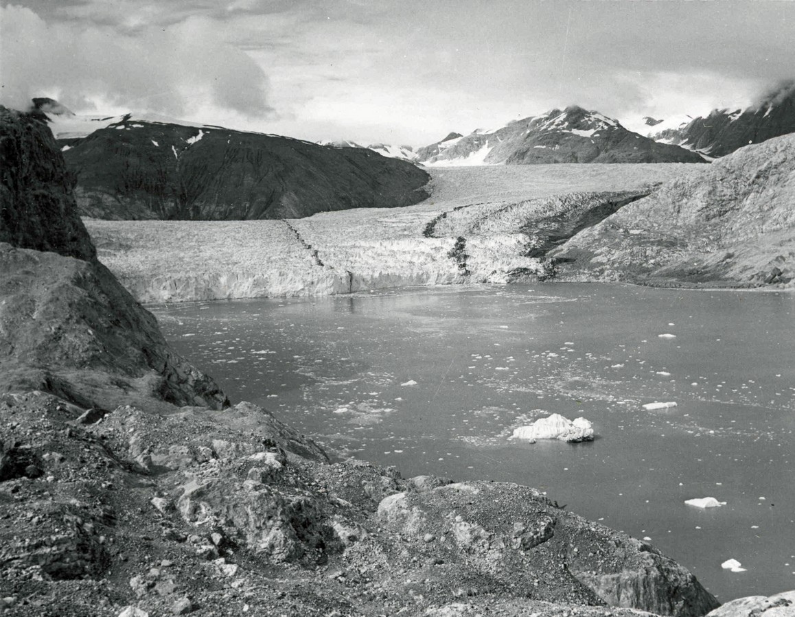
Don’t show the 1950 photo, which shows that most of the melt occurred during the 1940s
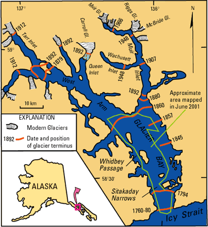
Don’t show the map which tells us that two thirds of the glacier’s retreat occurred before 1880
http://www.usgs.gov/global_change/glaciers/repeat_photography.asp


Such photos are meaningless as depending on the flow, you can see such changes every few decades for thousands of years on end… But it looks impressive if you don’t know any better.
Reblogged this on Climate Ponderings.
What intrigue me are the dark lines running with the glacier. If it is dirt why so long? If crushed rock why so long? Why so narrow?
The crushed rock (moraine) mainly occurs at the sides of a glacier – a lateral moraine. If a glacier flows into another glacier then the lateral moraines that meet become a stripe somewhere near the middle of the combined glacier – a medial moraine. If the the combined glacier flows into another glacier then another medial moraine is formed etc. etc.
http://en.wikipedia.org/wiki/Moraine
Thanks Steve!!
Oh wait. Didn’t this fraud originate at National Geographic or some place? I’ll search but if someone knows, please post.
EPA has it on their web site
Steven,
In Glacier National Park, of the shrinkage of the Sperry Glacier between 1850 and 2004, 81% had happened by 1945 (pre-anthropogenic CO2). Page 19, figure 6D:
http://www.fs.fed.us/psw/cirmount/wkgrps/ecosys_resp/postings/pdf/pederson_etal2006.pdf
Very nice Steven.
Also, note the additional carbon storage happening in the foreground of the 2004 pic.
Sometimes you can’t win for losing.