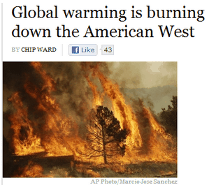
The press is reporting that the west is burning up. It must be due to snowpack up to 3657% of normal.
MONTANA
  KOOTENAI RIVER BASIN .........................  7 of  8     446*      129
  FLATHEAD RIVER BASIN ......................... 14 of 16     457*      132
  UPPER CLARK FORK RIVER BASIN ................. 14 of 15     769*      123
  BITTERROOT RIVER BASIN .......................  7 of  7     527*      118
  LOWER CLARK FORK RIVER BASIN .................  8 of  8    1047*      128
  JEFFERSON RIVER BASIN ........................ 19 of 19     568*      123
  MADISON RIVER BASIN .......................... 11 of 11     560*      123
  GALLATIN RIVER BASIN .........................  7 of  7     429*      119
  MISSOURI HEADWATERS .......................... 31 of 31     535*      124
  HEADWATERS MISSOURI MAINSTEM .................  5 of  5    1170*      127
  SMITH, JUDITH, AND MUSSELSHELL RIVER BASINS ..  9 of 10    1829*      137
  SUN, TETON AND MARIAS RIVER BASINS ...........  5 of  6     715*      123
  MISSOURI MAINSTEM RIVER BASIN ................ 19 of 21    1035*      130
  ST. MARY AND MILK RIVER BASINS ...............  3 of  3     241*      120
  UPPER YELLOWSTONE RIVER BASIN ................ 23 of 24     403*      127
  WIND RIVER BASIN (WYOMING) ................... 12 of 13     471*      118
  SHOSHONE RIVER BASIN (WYOMING) ...............  5 of  6     318*      134
  BIGHORN RIVER BASIN (WYOMING) ................ 15 of 16     496*      132
  TONGUE RIVER BASIN (WYOMING) .................  6 of  7    3657*      137
  POWDER RIVER BASIN (WYOMING) .................  6 of  7    1867*      130
  LOWER YELLOWSTONE RIVER BASIN ................ 31 of 35     503*      128
http://www.wrcc.dri.edu/snotelanom/snotelbasin
Our local drainage is only 603% of normal. The bottom line with environmental reporting is to assume that everything they say is intentionally incorrect.


It’s all Saruman’s fault:
http://www.youtube.com/watch?v=shMvpRebngc
3657% of normal? WTF?!???
I think that means a lot!!!
The friction of running water is well known to start fires.