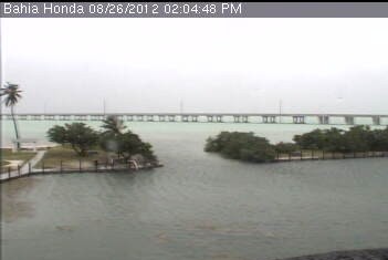
Lower Keys Webcam – Fla-keys.com Official Tourism site of the Florida Keys
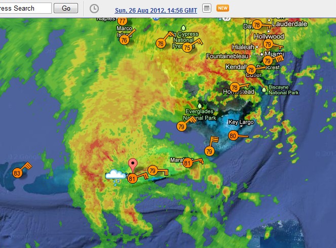
Issac is about to cross the Florida Keys, and is currently bringing top wind speeds of 45 MPH (near Miami.)
WunderMap® | Interactive Weather Map and Radar | Weather Underground
NOAA is reporting 65 MPH Yesterday, NOAA issued hurricane warnings for Florida.
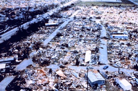
This is of course reminiscent of Hurricane Andrew, which hit 20 years ago and had 175 MPH winds.


The only ground observations of Andrew were sustained winds of 146mph at the Turkey Point Nuclear Station:
http://en.wikipedia.org/wiki/Hurricane_Andrew#Florida_2
So there’s no way that damage in that photograph could have been 175mph winds.
Also, I looked up the Joplin, MO obs for May 22, 2012:
http://www.wunderground.com/history/airport/KJLN/2011/5/22/DailyHistory.html
They only had winds of up to 54mph. There couldn’t have been a tornado in Joplin that day.
In Greensburg, KS on May 4, 2007 they only recorded 26mph winds:
http://www.wunderground.com/history/airport/KPTT/2007/5/4/DailyHistory.html?req_city=NA&req_state=NA&req_statename=NA
So there couldn’t have possibly been a tornado there either.
That proves it. Irene was much worse.
Let’s see. Hurricane hunters are able to give a few dozen dropsondes all the way to the surface around a system and report their findings immediately. Weather stations are sparse and often fail during large storms.
Going by weather stations alone to determine the maximum wind speeds in a tropical system is about as silly as using them to determine how bad a tornado was.
You post a lot about weather but it doesn’t seem you’ve got the basics right.
Hurricane Andrew peak gust wind was 177 MPH.
http://en.wikipedia.org/wiki/Hurricane_Andrew
Sustained winds were 165 MPH.
http://www.publicaffairs.noaa.gov/releases2002/aug02/noaa02107.html
Typo in post, it should be “Isaac”.
Keep up the good work, gotta call the bastards on their BS.
Looks like someone along the coast is gonna have a hurricane come ashore ?