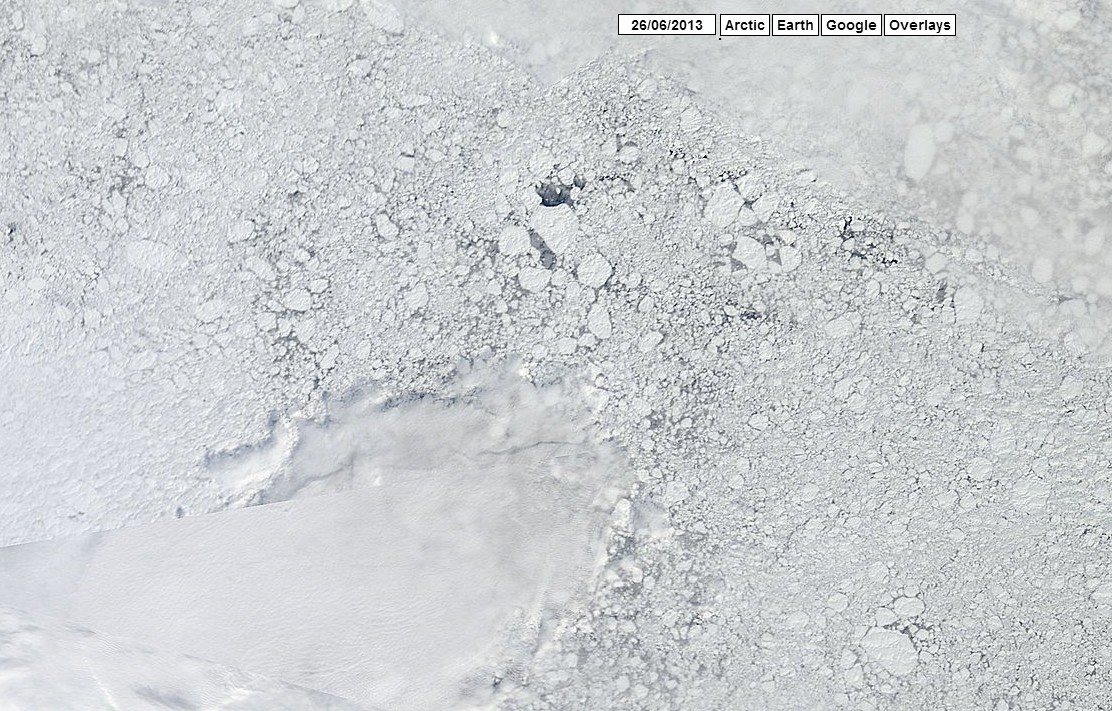
One commenter yesterday said that global warming was turning this region of the Arctic (which has lots of multi-year ice and is covered with fresh snow) into a “slushie.”
Disrupting the Borg is expensive and time consuming!
Google Search
-
Recent Posts
- Gaslighting 1924
- “Why Do You Resist?”
- Climate Attribution Model
- Fact Checking NASA
- Fact Checking Grok
- Fact Checking The New York Times
- New Visitech Features
- Ice-Free Arctic By 2014
- Debt-Free US Treasury Forecast
- Analyzing Big City Crime (Part 2)
- Analyzing Big City Crime
- UK Migration Caused By Global Warming
- Climate Attribution In Greece
- “Brown: ’50 days to save world'”
- The Catastrophic Influence of Bovine Methane Emissions on Extraterrestrial Climate Patterns
- Posting On X
- Seventeen Years Of Fun
- The Importance Of Good Tools
- Temperature Shifts At Blue Hill, MA
- CO2²
- Time Of Observation Bias
- Climate Scamming For Profit
- Climate Scamming For Profit
- Back To The Future
- “records going back to 1961”
Recent Comments
- John Francis on “Why Do You Resist?”
- conrad ziefle on Gaslighting 1924
- Bob G on Gaslighting 1924
- Bob G on Gaslighting 1924
- Bob G on Gaslighting 1924
- conrad ziefle on Gaslighting 1924
- Bob G on Gaslighting 1924
- Bob G on Gaslighting 1924
- arn on Gaslighting 1924
- conrad ziefle on Gaslighting 1924


Maybe a slushy, but made from Rotten Ice, so not good to eat.
Rotten ice? It’s all the poli bears
Well, if you compare to the same area last year, it’s certainly much more broken up this year.
http://earthdata.nasa.gov/labs/worldview/?map=62016,62848,355904,241536&products=baselayers,MODIS_Terra_CorrectedReflectance_TrueColor~overlays,arctic_coastlines&time=2012-06-29&switch=arctic
move it over to the same place…
it was more broken up last year
If you click on the link then zoom right in, as far as it will go, scan around the top right hand side you’ll see a pile ice blocks and snowy blobs. You should find a blob that’s sort of odd irregular star shape. Now if you look next to that one, at that blob towards the to right hand side, you should see a shadowy figure just below it. Now I’m sure that is Edward Snowden poking out from behind a snowdrift.
That area is too close to the pole to melt out.
Perhaps you could provide the same analysis for the Beaufort Sea?