[RFK Jr. has since deleted this tweet.]
“Fox News host Tucker Carlson gives his take on a source saying the CIA was involved in JFK’s assassination”
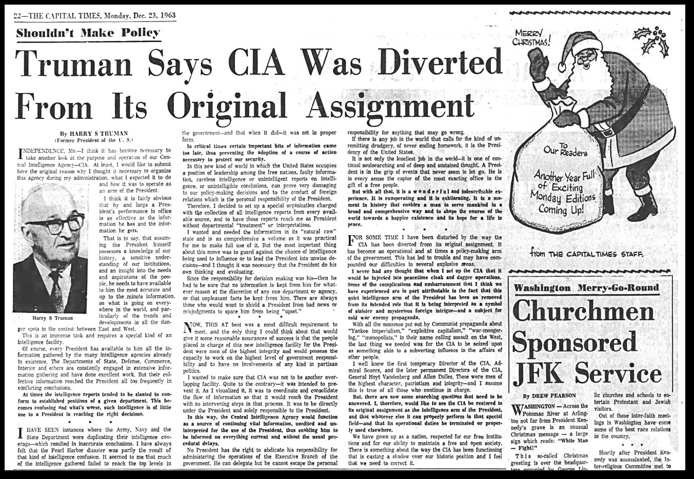
One month after the JFK assassination, Harry Truman wrote this.
“FOR SOME TIME I have been disturbed by the way the CIA has been diverted from its original assignment. It has become an operational and at times a policy-making arm of the government. This has led to trouble and may have compounded our difficulties in several explosive areas
We have grown up as a nation, respected for our free institutions and for our ability to maintain a free and open society. There is something about the way the CIA has been functioning that is casting a shadow over our historic position and I feel that we need to correct it”
23 Dec 1963, 26 – The Capital Times at Newspapers.com


