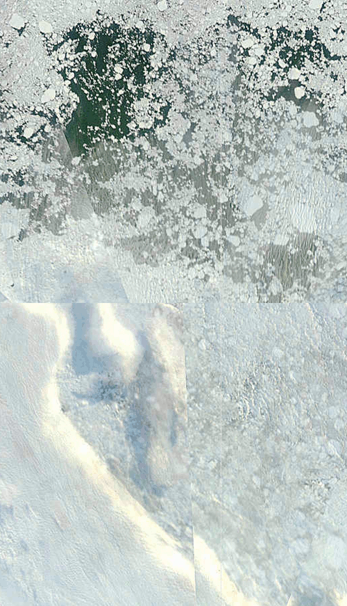
The blink comparator shows changes in the ice near the North Pole at 87.5N 168.0E over the last four days. As you can see, all of the open water has frozen over. This causes area measurements to increase.
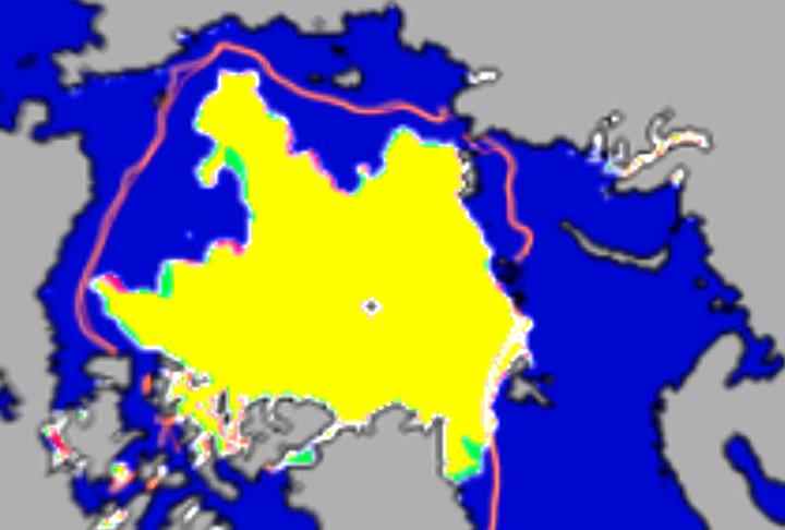
We are also seeing increases in extent around the periphery of the ice pack. The modified NSIDC image shows the increase in ice (green) over the last three days.


Can you double check that 97.5N?
I assume you meant to say 87.5N.
Fixed – thanks.
So if this is the end of the melt season will it be the shortest melt season on record?
With hurricanes sending Atlantic warmth up into space it’s likely 2011 summer melt won’t surpass 2010. That’s my prediction. I’m making it today. 🙂
Hello Steve
Enjoyed your posts over at WUWT, good luck here.
Should the heading be Central rather than the ‘Cenral’ shown?
Thanks for all your interesting posts.
Cheers Jack
The longer range forecasts are now saying that snow is expected on higher ground in the north of England next week, if this happens it will be the first September snow fall since 1917………..I think?
Amino says:
September 13, 2010 at 2:26 am
With hurricanes sending Atlantic warmth up into space it’s likely 2011 summer melt won’t surpass 2010. That’s my prediction. I’m making it today.
It wont surpass 2009 – or 2005 either – that’s mine.
Wait, just to make things clear, we’re talking about surpassing melt here.
So are we talking about area then and not extent? Is Amino is claiming a minimum area greater than 2010 and phlogiston claiming a minimum area above 2009 and (wow) 2005?
Somehow I don’t think this is what you two meant to predict exactly, but that’s the way I read it.