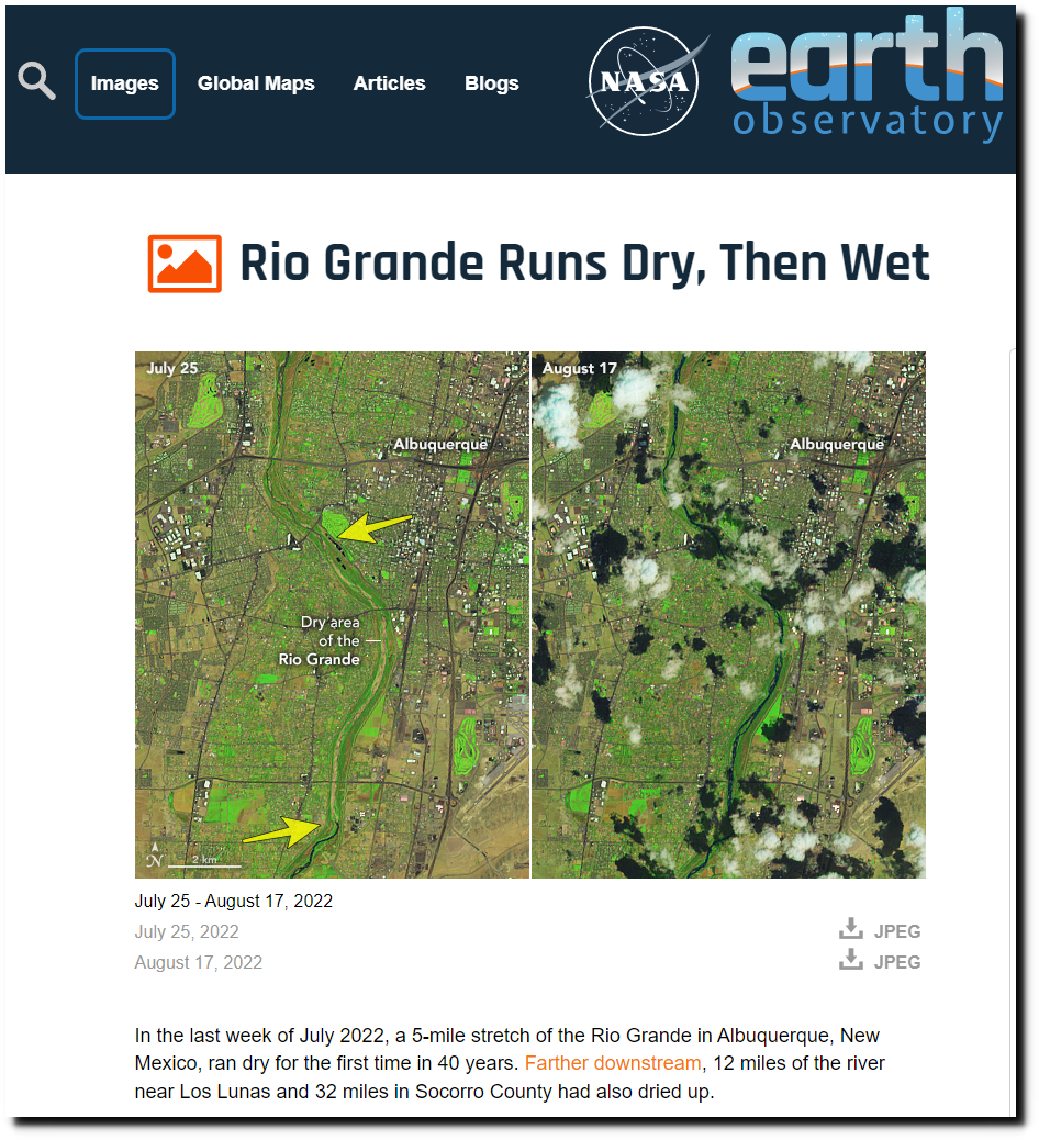
NASA says on July 25, a five mile stretch of the Rio Grande ran dry, and then at the end of the five mile stretch the river magically reappeared.
On Google Earth it can be seen what is really going on.
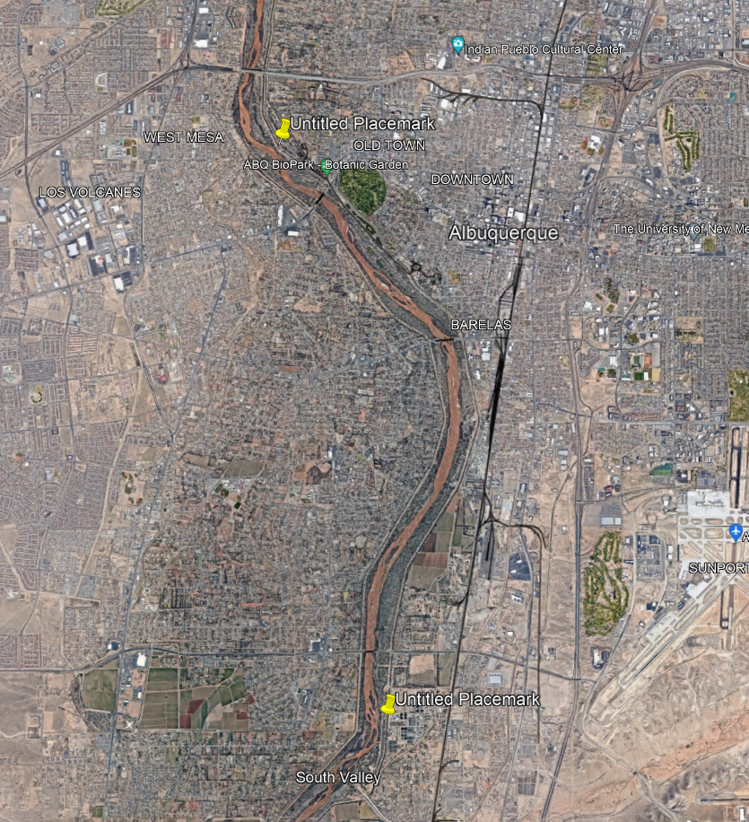
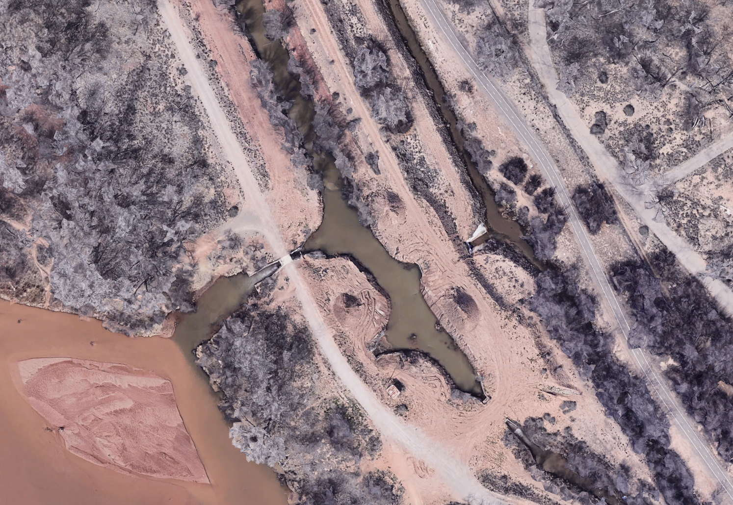
The water is diverted out of the river into an irrigation ditch here. Note the muddy water coming out of the river.
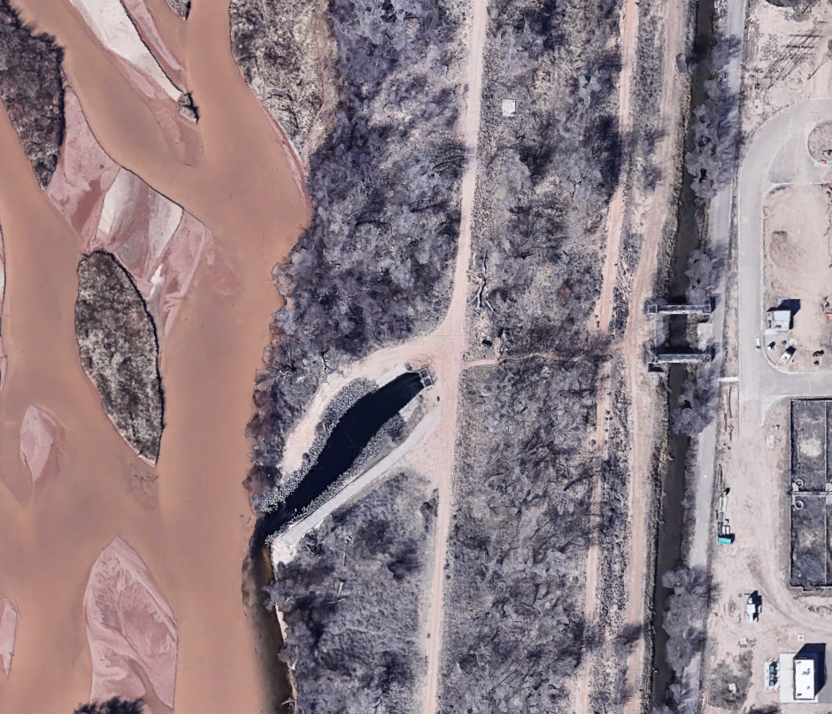
And then five miles to south, clear water is returned from the irrigation ditch back into the river bed.
The Rio Grande is running at record high levels near Albuquerque.
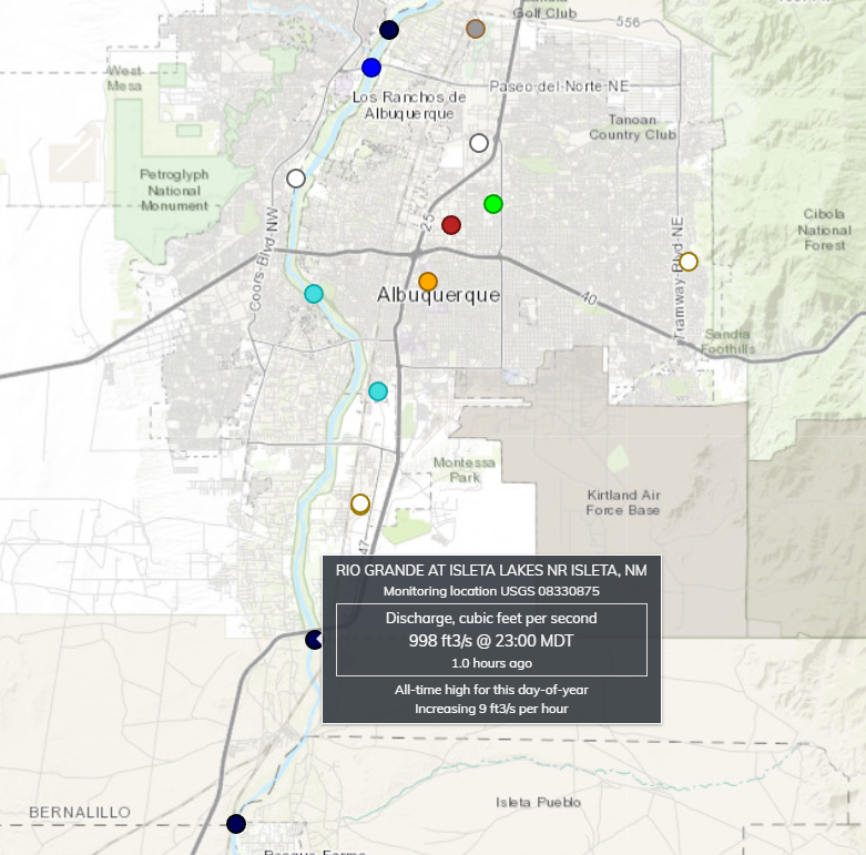
USGS | National Water Dashboard
Water levels in the Rio Grande north of Albuquerque have been increasing for two years.
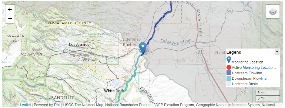
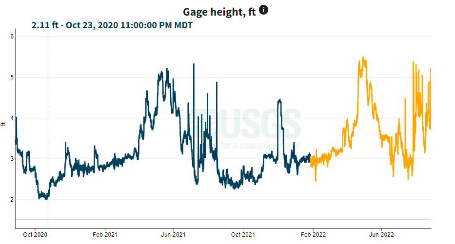
RIO GRANDE AT OTOWI BRIDGE, NM – USGS Water Data for the Nation

