WunderMap® | Interactive Weather Map and Radar | Weather Underground
Disrupting the Borg is expensive and time consuming!
Google Search
-
Recent Posts
- Gaslighting 1924
- “Why Do You Resist?”
- Climate Attribution Model
- Fact Checking NASA
- Fact Checking Grok
- Fact Checking The New York Times
- New Visitech Features
- Ice-Free Arctic By 2014
- Debt-Free US Treasury Forecast
- Analyzing Big City Crime (Part 2)
- Analyzing Big City Crime
- UK Migration Caused By Global Warming
- Climate Attribution In Greece
- “Brown: ’50 days to save world'”
- The Catastrophic Influence of Bovine Methane Emissions on Extraterrestrial Climate Patterns
- Posting On X
- Seventeen Years Of Fun
- The Importance Of Good Tools
- Temperature Shifts At Blue Hill, MA
- CO2²
- Time Of Observation Bias
- Climate Scamming For Profit
- Climate Scamming For Profit
- Back To The Future
- “records going back to 1961”
Recent Comments
- John Francis on “Why Do You Resist?”
- conrad ziefle on Gaslighting 1924
- Bob G on Gaslighting 1924
- Bob G on Gaslighting 1924
- Bob G on Gaslighting 1924
- conrad ziefle on Gaslighting 1924
- Bob G on Gaslighting 1924
- Bob G on Gaslighting 1924
- arn on Gaslighting 1924
- conrad ziefle on Gaslighting 1924


Hopefully the draggers have a mush team somewhere in that boat….
Temps have been running from 2 to -2C all summer. And the last couple days, Canada has been showing ice moving toward Alaska at a rate of 3-5 km/day. MASIE, Canada, and Russia do a much better job of showing true extents than NSIDC.
NSIDC’s primary purpose these days seems to be to manage the collapse of the sea ice scam.
The fact is, is there are more tools in the shed to do a much better job these days. SSM/I is only one. To rely solely on that is ludicrous. The above organizations do a much better job at finding the ice.
Dr. Walt gave his excuses last year on this topic. They don’t go that route because of the human factor. WHAT! An algorithm is a human factor that is failing right now to tell us what is ice with a little water on it to what is truly open sea. The human eye looking over various sat photos is much more accurate albeit with a little error. Wow! Scam is to polite!
Or mismanage the sea ice scam if they are eventually caught 😉
Looks like they’ve got strong easterly winds till Saturday. Don’t look they’ll get very far this week.
http://www.wunderground.com/cgi-bin/findweather/hdfForecast?query=paulatuk
Paul, ENE winds are the worst….all of the pack ice is directly ENE of them
Are they still trying to row?
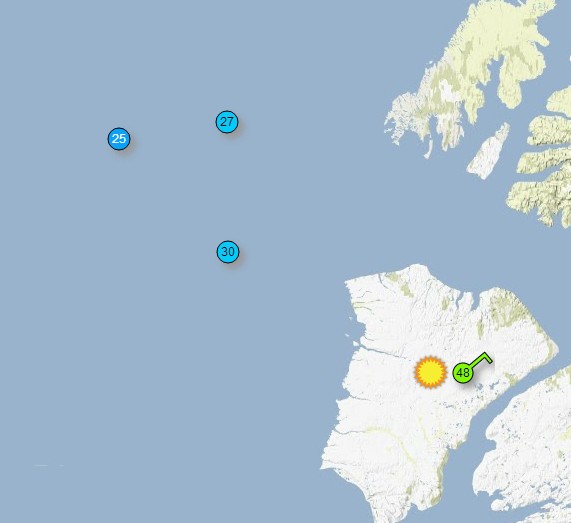
OK, here’s my “funny thing of the day”. I’m looking at the Actic Ocean north of Canada here:
http://www.sailwx.info/shiptrack/shiplocations.phtml
and I see 22 Weather buoys. There are 67 listed below the map; 25615,25616,25617,25622,25634,26535,26542,26556,26557,47501,47506,47537,47545,47550,47564,47565,47571,47573,48507,48508,48512,48520,48533,48536,48539,48551,48596,48600,48652,48656,48659,48660,48687,48688,48689,48690,48692,48694,48696,48697,48699,48713,48726,48728,48731,48732,48733,48737,48738,48739,48741,48983,62684,62926,63544,63551,63552,63554,63635,63639,63642,64516,64518,64532,64709,64710,64714,
and not a single one of those is known at the National Data Buoy Centre
http://www.ndbc.noaa.gov/to_station.shtml
Arctic Sunrise is currently at Kirkenes, N. Norway.