
The green areas below show crops in the field.
arctic.io – Arctic Terra – (2013/148)
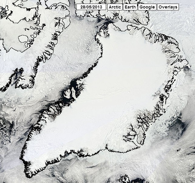
This image helps us understand why Vikings named the place Greenland.
The green areas below show crops in the field.
arctic.io – Arctic Terra – (2013/148)
This image helps us understand why Vikings named the place Greenland.

LMAO!
Don’t laugh mate. Very very soon, the -18DegC heat from that ice will radiate up into the air where it will be trapped by greenhouse pollution and be back radiated down to warm the ice up to a nice balmy 15DegC.
Then the farmers will plant their wheat and barley for the summer.
DO NOT EVER LAUGH AT THE POWER OF THE GREENHOUSE EFFECT…EVER.
some mornings I enjoy your unrelenting sarcasm towards the Algorites more than others.. this would be one of those mornings..
Reblogged this on Gds44's Blog.
I hear they grow “snow peas”
And grapes for ice wine ;).
Don’t you know that white is the new green?
Huum, sounds like the real estate developer Leif Ericson helped Snooky write BHO’s ‘Jurzey’ Shore speel.
You can see some pretty deep furrows made by the Big Plow