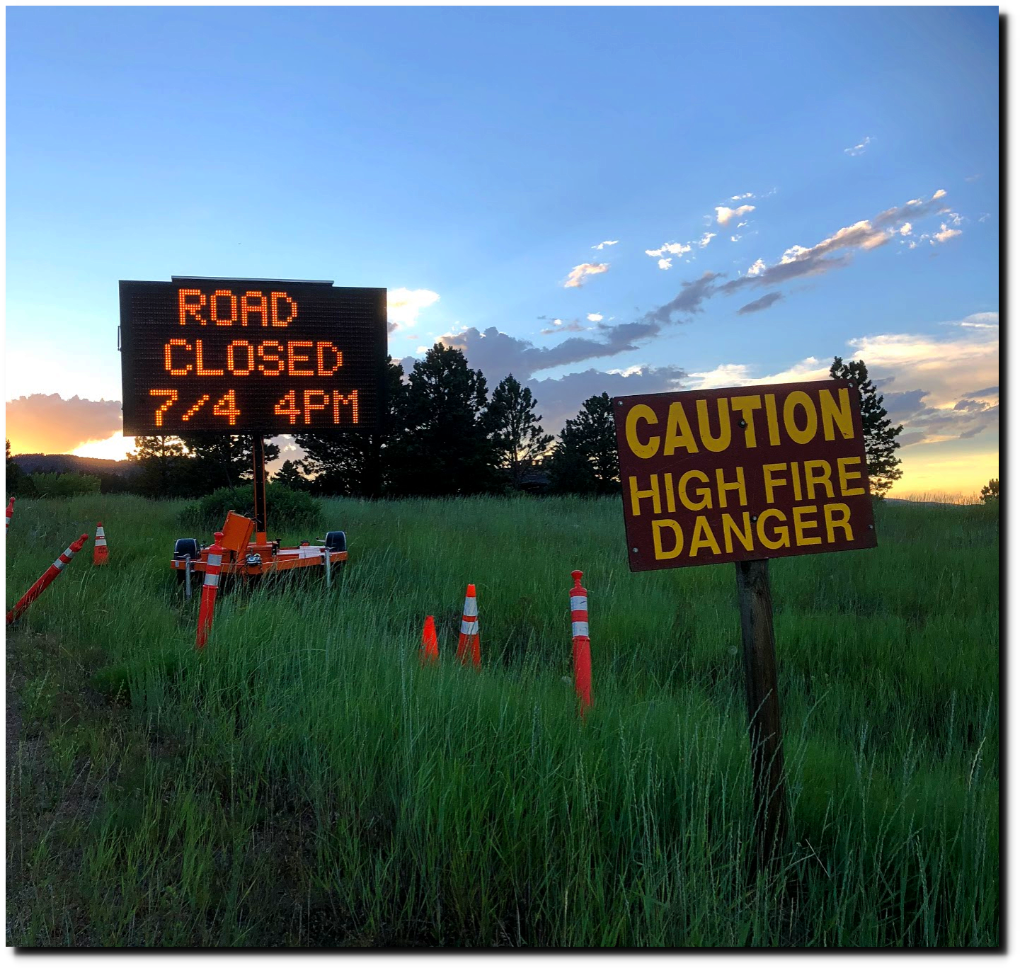
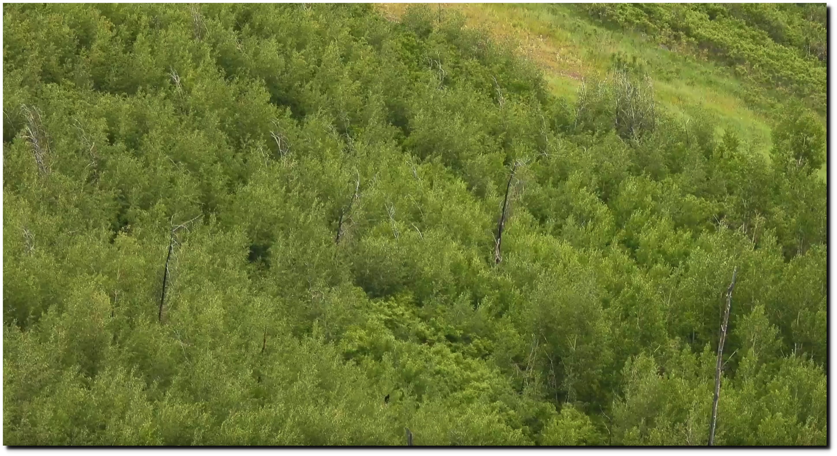
Authorities almost always claim now that fire danger is high, even if it is lowest on record. I took this picture on July 3rd just west of Boulder. You probably couldn’t have started a fire if your life depended on it.
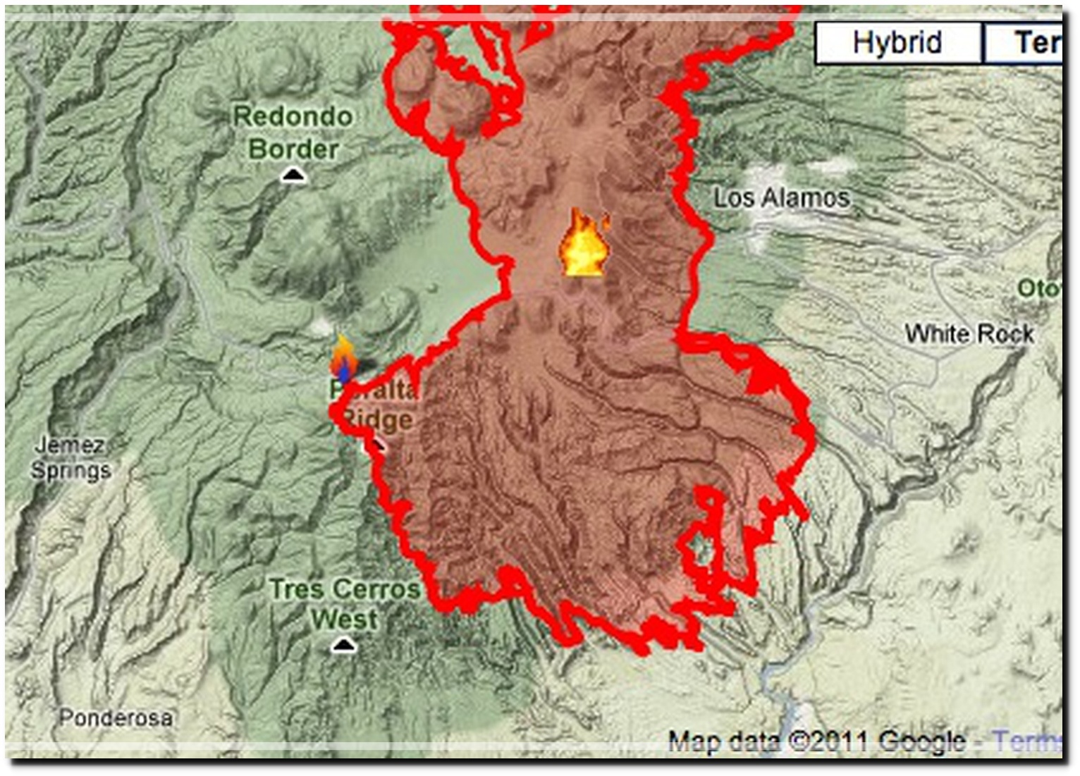
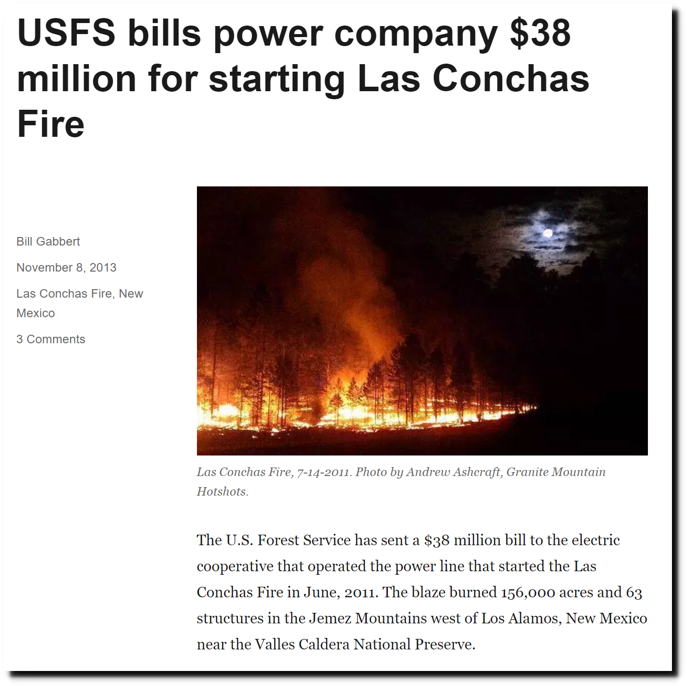
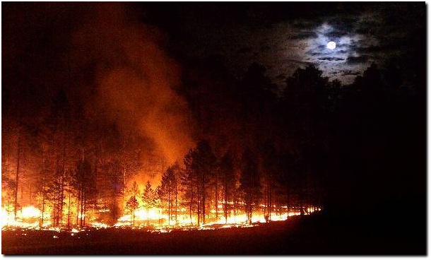
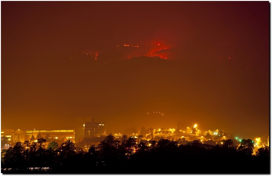
I’m just back from Los Alamos. Eight years ago, the largest fire in New Mexico history was started by a power line, and burned up a large area west of Los Alamos.
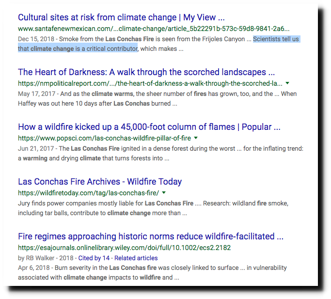
Las Conchas Fire Archives – Wildfire Today
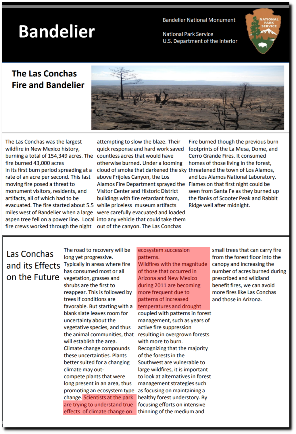
Scientists are trying to understand the true effects of climate change on the fire, because apparently climate change affects power lines.
Scientists tell us that climate change is a critical contributor.
Many people I knew in Los Alamos were certain it was the worst thing that ever happened, and the mountain would never recover.
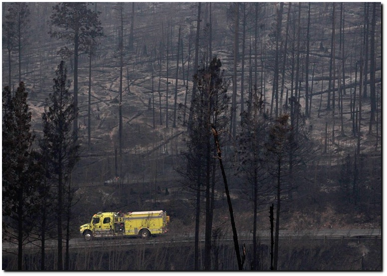
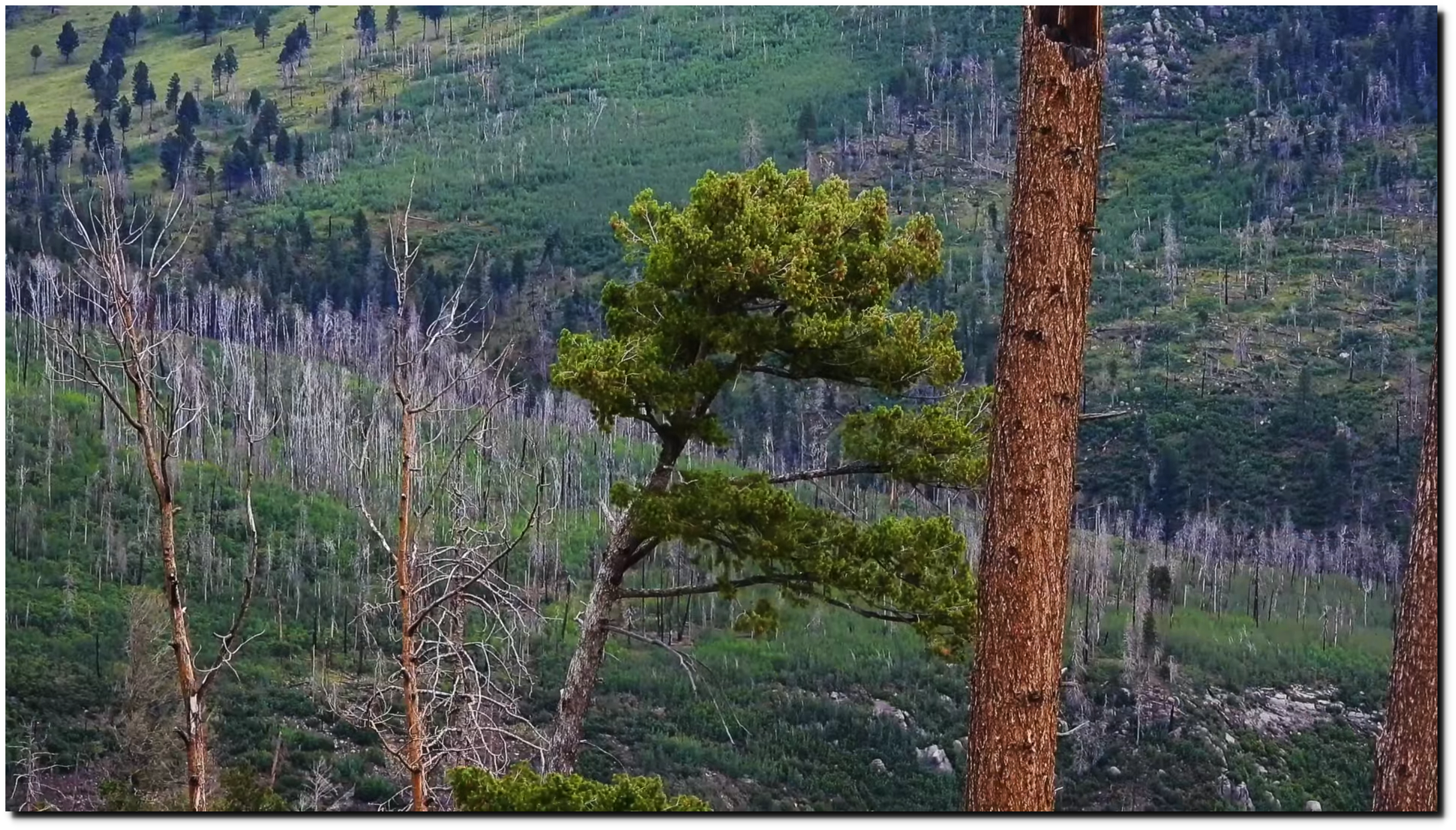
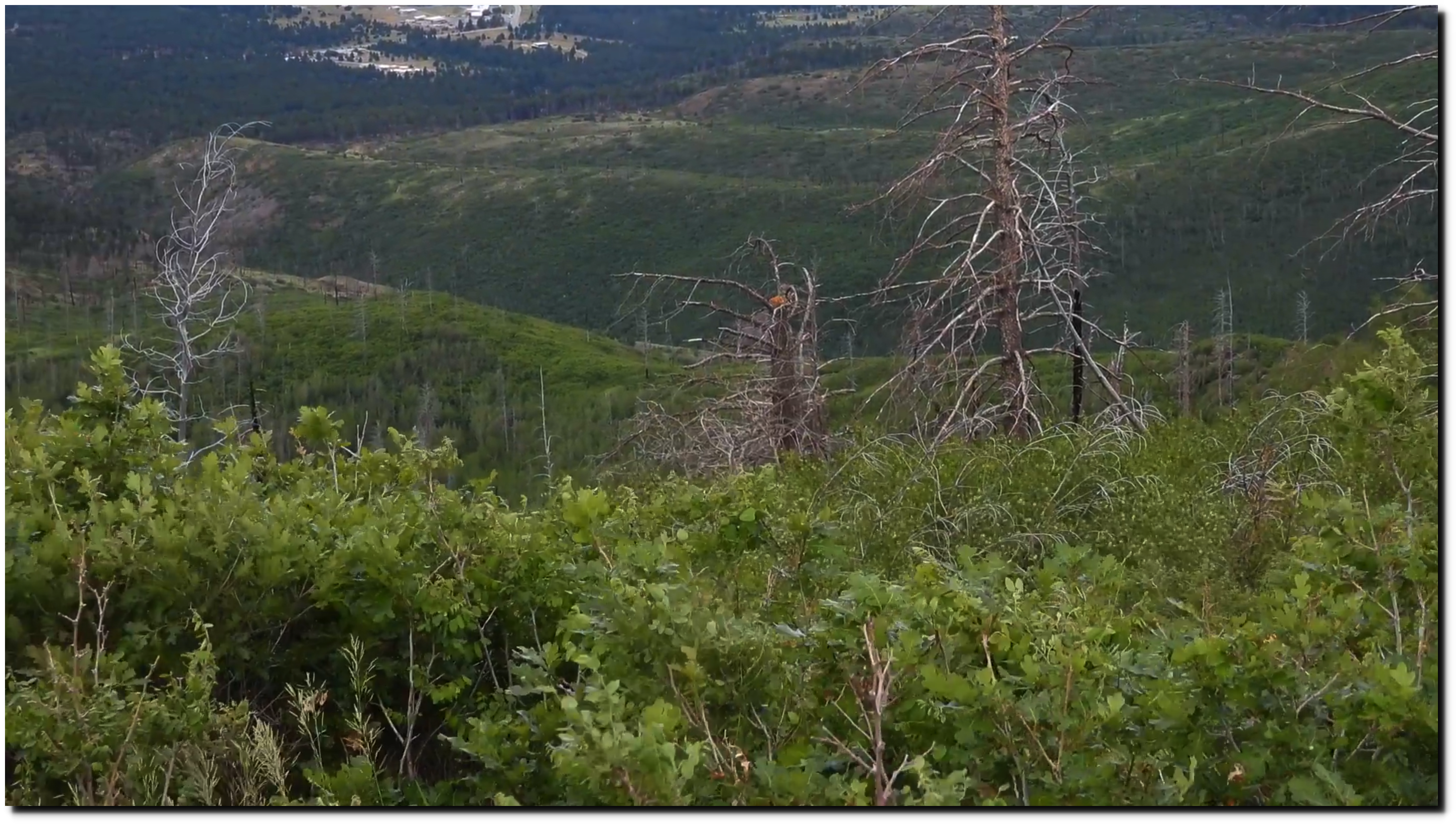
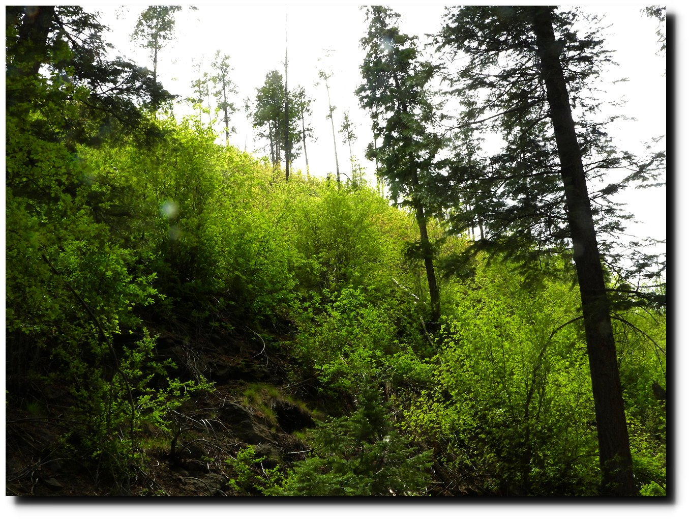
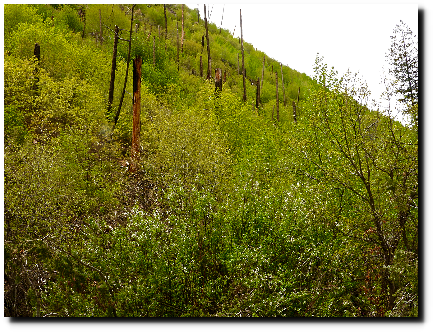
This is what the 2011 burn area looked like yesterday.
I took these pictures there in May.
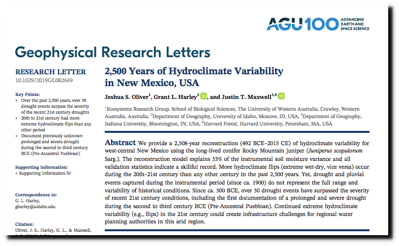
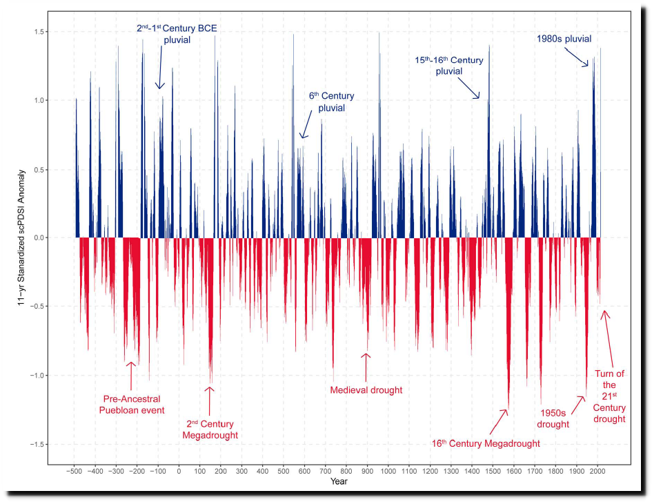
If the “scientists” quoted by the press and at the US Park Service did any actual research, they would have known that drought in New Mexico is cyclical, and that the recent drought was nothing unusual.
OliverHarleyMaxwell19-April30-2500Yrs-HydroClimateVar-NewMexico
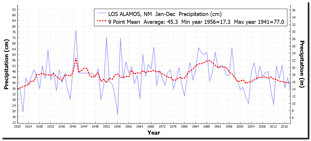
Precipitation in Los Alamos is about the same as a century ago.
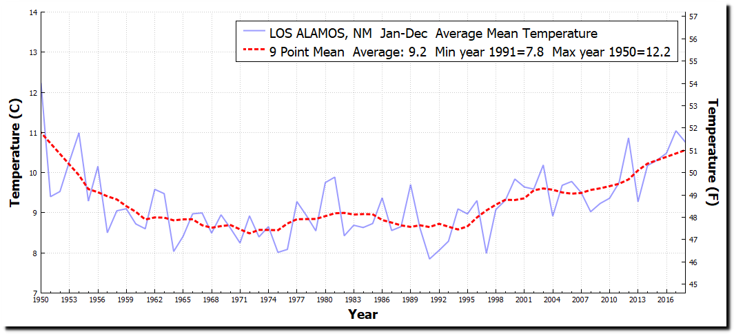
Temperatures in Los Alamos are about the same as when I was born there in the 1950s.
ftp.ncdc.noaa.gov/pub/data/ghcn/daily/all/USC00295084.dly
There have always been large fires in that area, like this one across the Rio Grande Valley in 1890.
Spokane Falls Daily Chronicle – Google News Archive Search
This is what the 1890 burn area looks like now in Autumn.
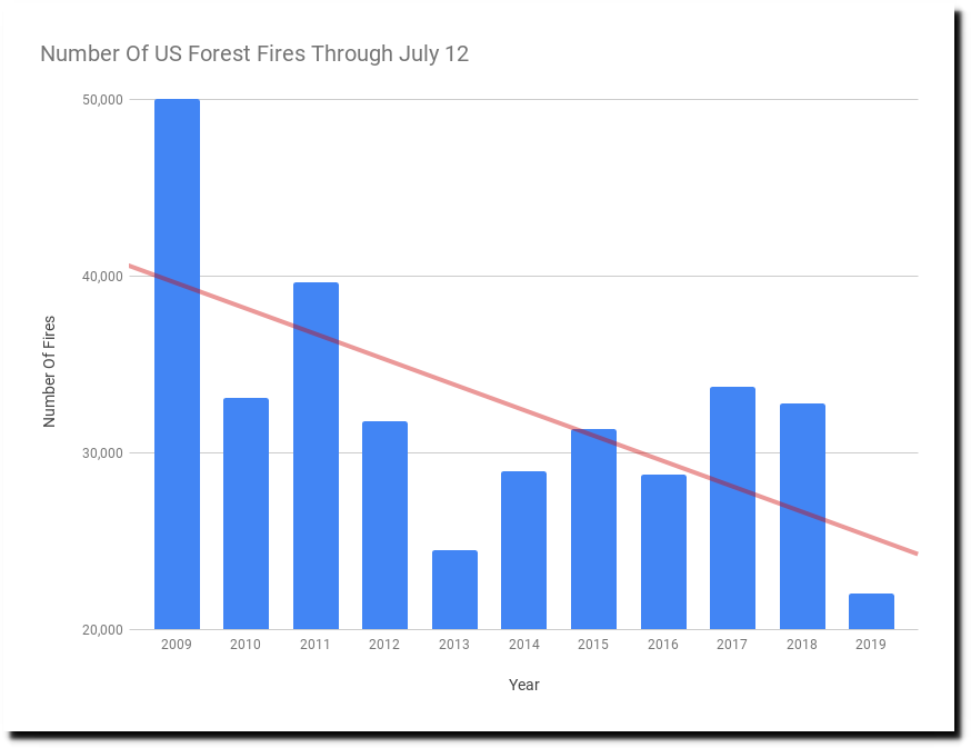
Fire is an essential part of the forest cycle, but the number of fires in the US has dropped in half over the past decade.
National Interagency Fire Center
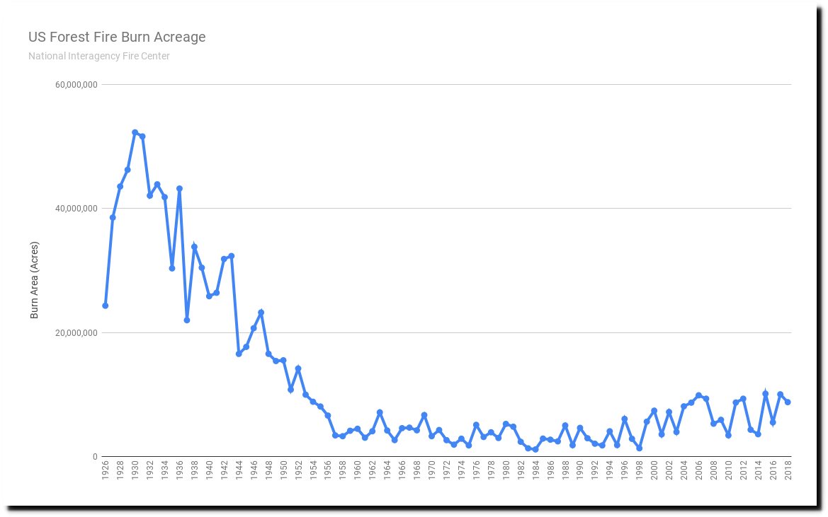
Forest fire burn acreage is down 80% over the past 90 years.
National Interagency Fire Center
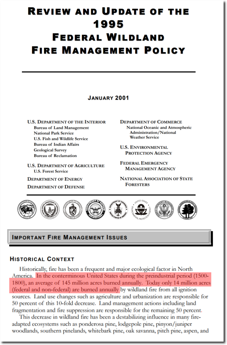
And down 90% from pre-industrial times. Unfortunate that Department of the Interior scientists don’t bother to consult their own research, and that I have to spend 30 seconds doing it for them.

