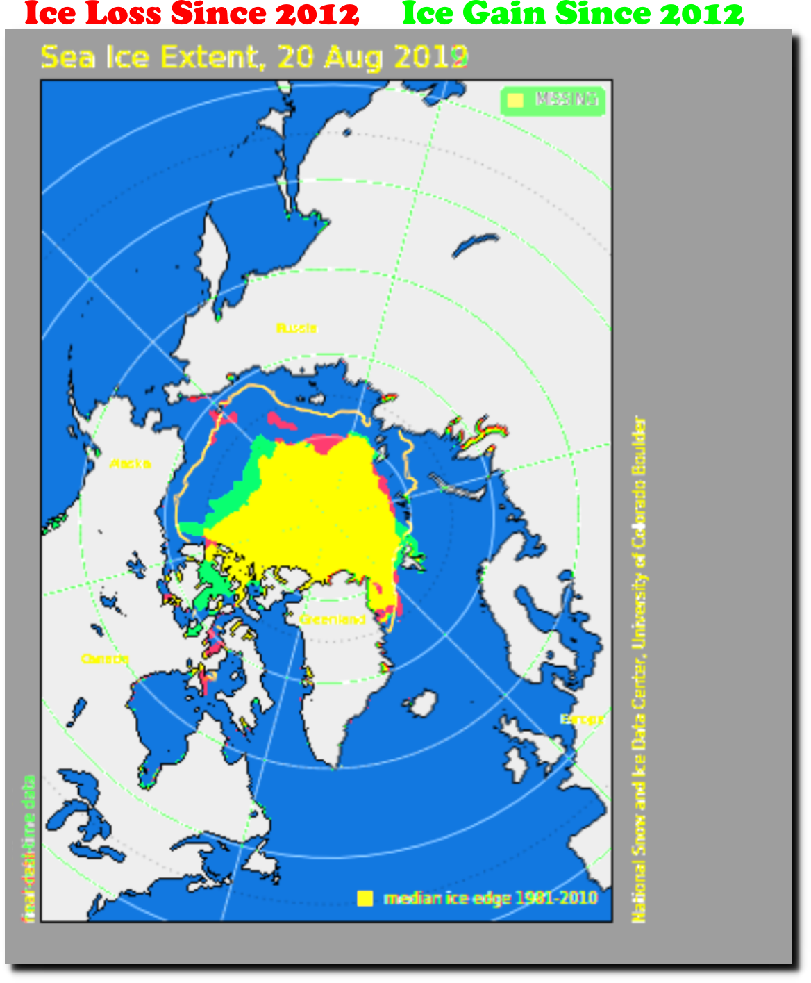
MASIE shows Arctic sea ice extent 9% less than the same date in 2012.
DATASETS/NOAA/G02186/masie_4km_allyears_extent_sqkm.csv
But NSIDC maps show 9% more ice than 2012.
Apparently an 18% discrepancy is close enough for government work, which will be used to make multi-trillion dollar superstition based policy decisions.


