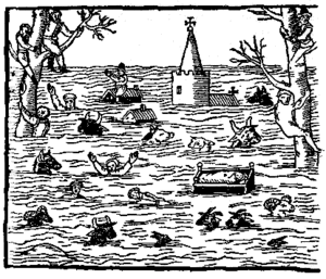
On 30 January 1607 the Bristol Channel floods resulted in the drowning of an estimated 2,000 or more people, with houses and villages swept away, an estimated 200 square miles (518 km2) of farmland inundated and livestock destroyed,wrecking the local economy along the coasts of the Bristol Channel and Severn Estuary, in what was then the Kingdom of England.
The devastation was particularly severe on the Welsh side, extending from Laugharne in Carmarthenshire to above Chepstow in Monmouthshire. Cardiff was the most badly affected town.[2] The coasts of Devon and the Somerset Levels as far inland as Glastonbury Tor, 14 miles (23 km) from the coast, were also affected. The sea wall at Burnham-on-Sea gave way,[3] and the water flowed over the low lying levels and moors. Thirty villages in Somerset were affected, including Brean which was “swallowed up” and where seven out the nine houses were destroyed with 26 of the inhabitants dying. For ten days the Church of All Saints at Kingston Seymour, near Weston-super-Mare, was filled with water to a depth of 5 feet (1.5 m). A chiselled mark remains showing that the maximum height of the water was 8 metres above sea level.