There must be federal money to be had in a big flood, because the flood information being released by the City of Fort Collins is utter nonsense.
According to the National Weather Service, the Poudre reached 14.56 feet — nearly seven times its average during the previous four days — at 8:15 a.m. Friday. At that peak, more than 420,000 gallons of water passed a stream gauge every second.
City officials says that the Poudre’s flow through the city has decreased to less than 9,000 cubic feet per second — or about 67,000 gallons per second. The city hasn’t used Poudre River water in its drinking water system since Sept. 6, and advises people not to play in or drink untreated flood water.
North Fort Collins shelter to open at 3 p.m. as bridges remain closed | The Coloradoan | coloradoan.com
According to the city, the flow is down 85% since the peak.
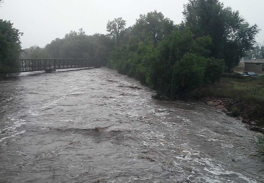
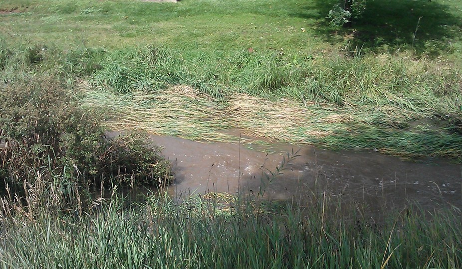
I surveyed and photographed most of the Poudre’s 15 mile path through Fort Collins today, and there is no evidence that water was ever more than a few inches higher than it is now. No mud, no debris, no foliage damage more than a few inches above the current water line.
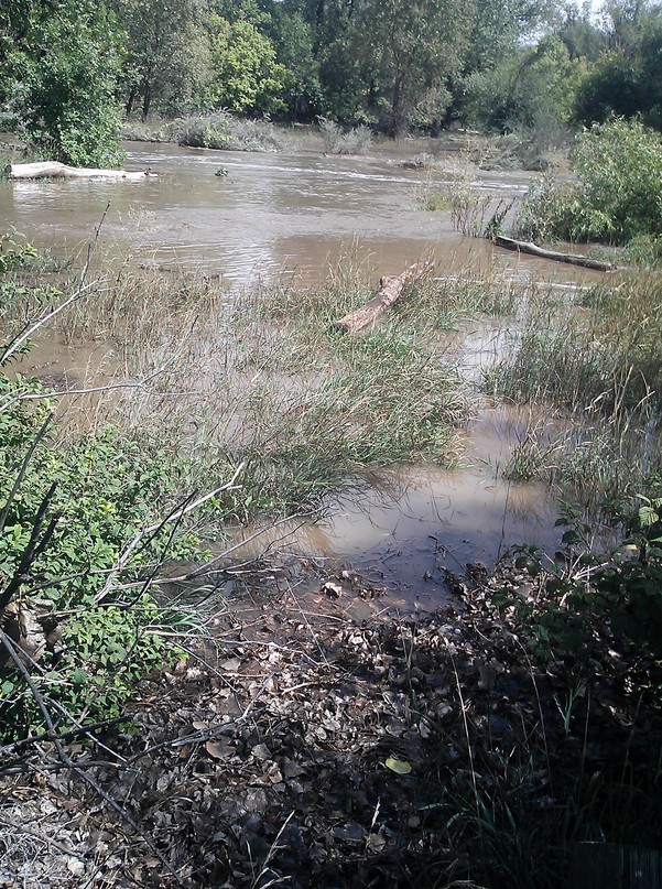
This next photo shows mud several inches above the current water line.
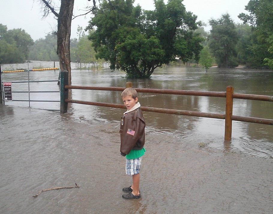
The next photo is of a different drainage – Spring Creek. It is obvious that the high water mark was a couple of feet higher than the current level, but there is no similar evidence on the Poudre.
The city’s claims about the Poudre are either due to instrumentation error, or somebody is making stuff up. The flood was nowhere near as big as the city is claiming.