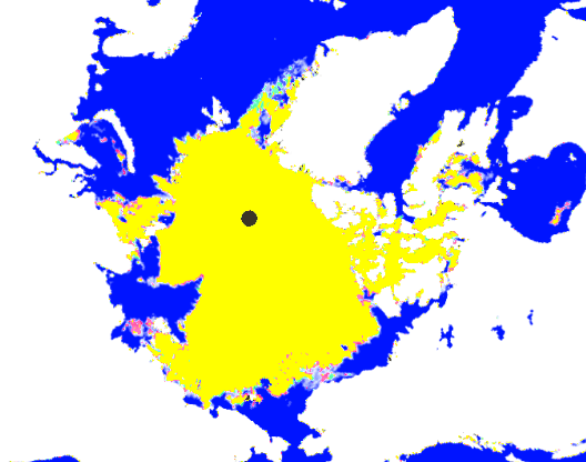
At the peak of the Arctic melt season, ice extent loss has essentially stopped. Green shows areas of increased ice since Sunday, and red shows the opposite.
Disrupting the Borg is expensive and time consuming!
Google Search
-
Recent Posts
- “Earlier Than Usual”
- Perfect Correlation
- Elon’s Hockey Stick
- Latest Climate News
- “Climate dread is everywhere”
- “The Atmosphere Is ‘Thirstier.’”
- Skynet Becomes Self Aware
- “We Have To Vote For It So That You Can See What’s In It”
- Diversity Is Our Strength
- “even within the lifetime of our children”
- 60 Years Of Progress in London
- The Anti-Greta
- “a persistent concern”
- Deadliest US Tornado Days
- The Other Side Of The Pond
- “HEMI V8 Roars Back”
- Big Pharma Sales Tool
- Your Tax Dollars At Work
- 622 billion tons of new ice
- Fossil Fuels To Turn The UK Tropical
- 100% Tariffs On Chinese EV’s
- Fossil Fuels Cause Fungus
- Prophets Of Doom
- The Green New Deal Lives On
- Mission Accomplished!
Recent Comments
- Bob G on “Earlier Than Usual”
- MLH on “Earlier Than Usual”
- Gordon Vigurs on Perfect Correlation
- Jack the Insider on “Earlier Than Usual”
- Bob G on “Earlier Than Usual”
- John Francis on “Earlier Than Usual”
- Terry Shipman on “Earlier Than Usual”
- arn on “Earlier Than Usual”
- Gordon Vigurs on “Earlier Than Usual”
And the yellow is a special snow cone flavor for Al and Mike.
How can you actually tell from that map what the ice losss / gain is visually? Better to check the calculated data from here
http://www.ijis.iarc.uaf.edu/seaice/extent/plot_v2.csv
Shows ice loss, provisional for today, for last 2 days as
-50552
-78800
Which is neither large nor small. But it does show there is some loss.
Andy
Why bother; you can see the red areas in the picture.