
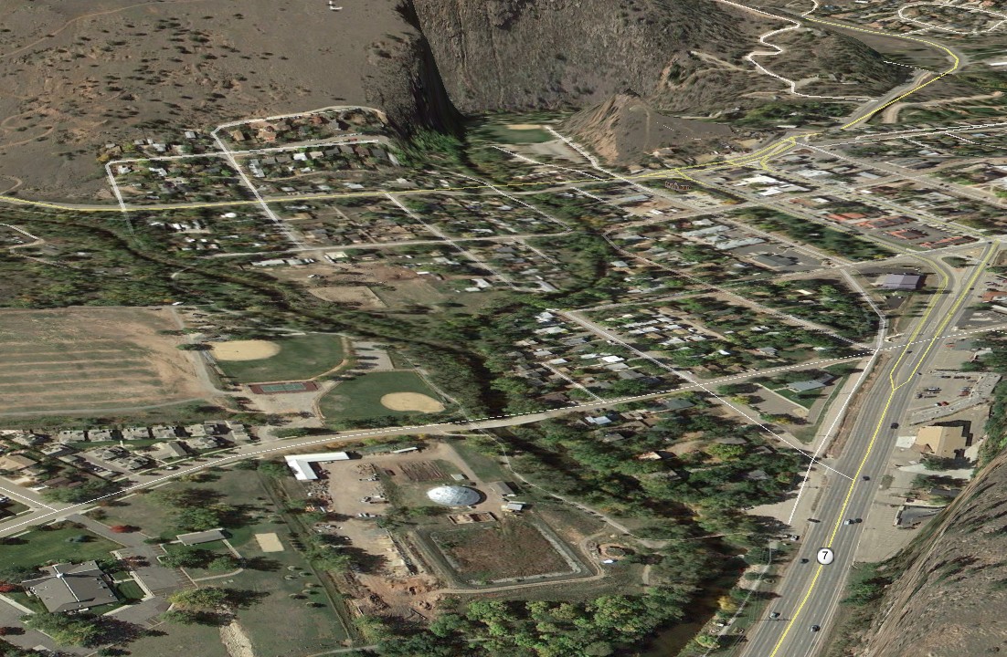
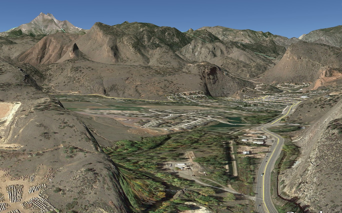
Lyons was severely damaged by the flood and won’t be functional again for months. It was a disaster waiting to happen.

Disrupting the Borg is expensive and time consuming!

Google Search
-
Recent Posts
- Three Years Since The Apocalypse
- Arctic Report card Summer 2026
- Elon Pushing Pushing Geoengineering
- Earth, Wind And Fire
- On The Road Again
- Vandalism At The Reflecting Pool
- Fifty Years Ago Today
- Truth Or Consequences
- US Climate Trend Maps
- Declining Spring Snow Cover In Northern New Mexico
- You Can’t Fool Mother Nature
- Cattle And The Climate
- One Atomic Bomb Per Hour
- New Video : Analyzing Oil And Gas
- Is Antarctica Melting?
- High Speed Analysis And Visualization
- El Nino To The Rescue?
- Fake News Update
- Growth Of Antarctic Sea Ice
- 65 Years Of Progress!
- El Nino To The Rescue?
- Worst March Drought On Record
- ChartGL Process Control Demo
- The Biggest Money Laundering Scam
- Drought In The Headwaters Of Lake Powell
Recent Comments
- Denis Rushworth on Three Years Since The Apocalypse
- conrad ziefle on Earth, Wind And Fire
- Crispin Pemberton-Pigott on Three Years Since The Apocalypse
- Robertvd on Arctic Report card Summer 2026
- conrad ziefle on Three Years Since The Apocalypse
- Terry Shipman on Arctic Report card Summer 2026
- D. Boss on Arctic Report card Summer 2026
- Gordon Vigurs on Three Years Since The Apocalypse
- Gordon Vigurs on Three Years Since The Apocalypse
- Bob G on Three Years Since The Apocalypse
if i may… http://omnologos.com/boulder-valley-flooding-history/
Good resource, thanks.
It’s on an alluvial fan?
It is a river bottom in a narrow canyon.
I see two rivers merging in the middle of town.
North and South Forks of the St. Vrain River.
How do people think that canyons were formed in the first place?
The first line of the entry on canyons in Wikipedia:
“A canyon (occasionally spelled cañon) or gorge is a deep ravine between cliffs often carved from the landscape by a river.”
Location, location, location…
Boulder Office of Emergency Management has a Major Hazard Mitigation Plan draft document dated 8/27/13. The flood history of Boulder County starts at page 29.
http://boulderoem.com/files/Boulder_MHMP_Draft_for_Social_Media.pdf