
While all the usual fraudsters are talking about disappearing Arctic ice, it is growing extremely fast. The animation below show the explosion of Arctic ice over the past five days.
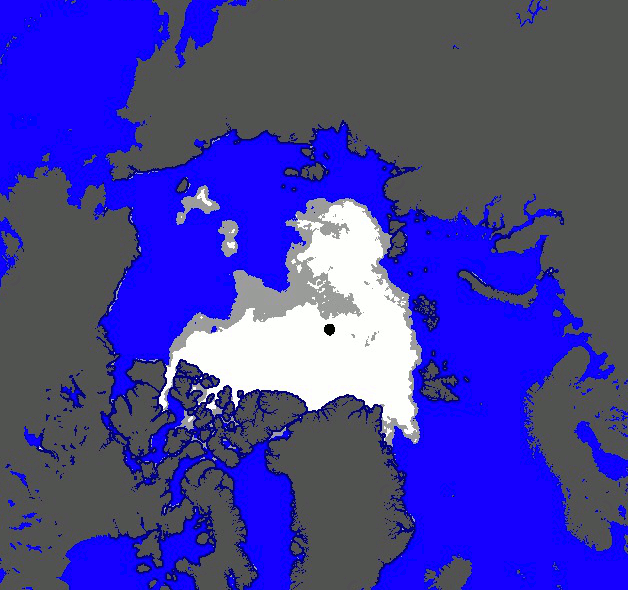
The melt season this year was about one month shorter than normal.

While all the usual fraudsters are talking about disappearing Arctic ice, it is growing extremely fast. The animation below show the explosion of Arctic ice over the past five days.
The melt season this year was about one month shorter than normal.
